
Travel Guide
Plan your visit around Grand Canyon Village, Mather Point, and more of Grand Canyon National Park, Arizona.
Things to do in Grand Canyon National Park draws visitors to the Park’s vast rim vistas, layered geology, and a compact mix of accessible overlooks and strenuous wilderness routes. The South Rim’s Grand Canyon Village concentrates visitor services, historic buildings, and trailheads, while the North Rim offers a quieter, higher-elevation approach.
Corridor trails such as Bright Angel and South Kaibab descend into the inner canyon, and Lees Ferry launches multi-day Colorado River rafting trips through the canyon’s heart.
Why Visit Grand Canyon National Park
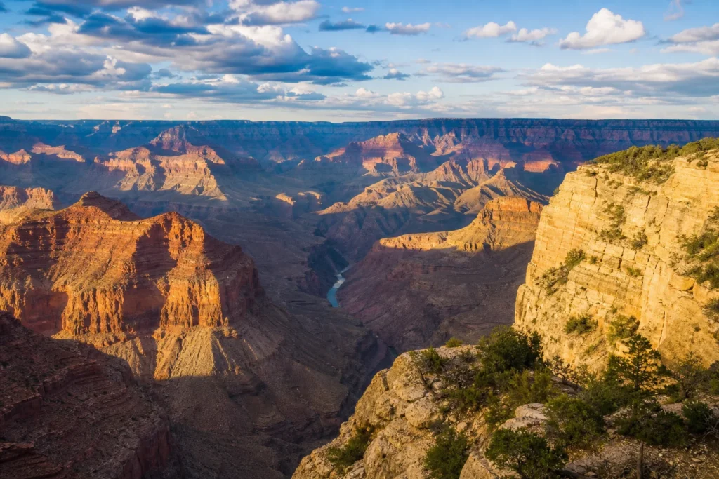
Visitors come for the canyon’s unparalleled geology, sweeping rim vistas, and the contrast between accessible overlooks and demanding backcountry experiences. Signature viewpoints like Mather Point, Yavapai Geology Museum viewpoint, Hermit’s Rest overlooks, and Desert View with its watchtower showcase layered rock exposures and dramatic seasonal light.
Corridor trails (Bright Angel, South Kaibab, North Kaibab) provide direct access into inner-canyon microclimates, while multi‑day Colorado River rafting trips reveal geology and remoteness from river level. Cultural interpretation and historic buildings in Grand Canyon Village add human stories to the landscape.
Top Things to Do in Grand Canyon National Park, Arizona
From short rim walks and museum interpretation to rim‑to‑river hikes and river expeditions, the park concentrates a wide range of experiences. Below are the primary viewpoints, trails, and corridor experiences described in official park material.
Grand Canyon Village
Grand Canyon Village anchors visitor activity on the South Rim and functions as the park’s historic center and service core. The district is a compact, walkable area that clusters lodging, visitor centers, bookstores, and interpretive exhibits, making it a logical base for rim walks, shuttle routes, and guided programs.
Architecturally significant buildings—El Tovar Hotel, Kolb Studio, Hopi House, and Lookout Studio—reflect early park development and contribute to the village’s National Historic Landmark status. The Bright Angel Trailhead departs directly from the village rim, while the train depot and concession services link the historical transportation story with modern visitor logistics.
Confirm shuttle and visitor-service details on official park pages before arrival.
Mather Point
Mather Point is a short paved walk from the Grand Canyon Visitor Center and often the first canyon view for South Rim visitors. The overlook provides broad, sweeping panoramas of the inner canyon and layered rim walls, with interpretive panels and safety railings framing the main viewing area.
From Mather Point it’s possible to pick out Phantom Ranch and sections of the Colorado River on clear days, and interpretive signs help orient visitors to distant geological features. The Kaibab/Rim (Orange) shuttle stops nearby; there is no dedicated parking at the overlook, so plan for a short walk or shuttle ride during busy seasons.
Yavapai Geology Museum
Yavapai Geology Museum sits at Yavapai Point and combines large canyon‑facing windows with geology and paleontology exhibits that explain the Grand Canyon’s rock layers and deep time. Inside, rock‑column models, an embossed relief map, and labeled panorama windows let visitors match visible canyon features to their names and ages.
The museum adjoins the Trail of Time geoscience exhibit and is served by the Kaibab Rim (Orange) shuttle. Park rangers often give short geology talks nearby.
Facilities include nearby parking, restrooms, and a park store; check official park pages for current program schedules and interpretive events before you go.
Bright Angel Trail
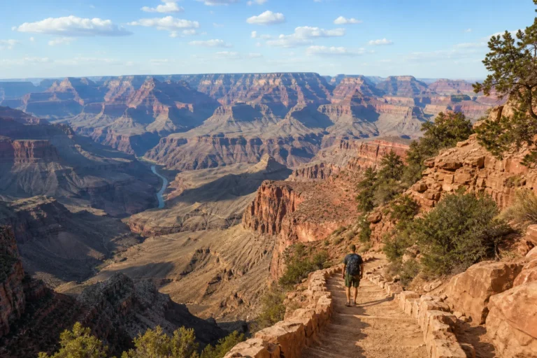
Bright Angel Trail is the South Rim’s most traveled route into the canyon and a classic Grand Canyon experience. The route follows a natural break in the cliffs and traverses a dramatic sequence of rock layers as it descends toward the canyon floor, offering direct views of inner‑canyon ledges and the Colorado River.
The trail is steep and exposed in sections; NPS resthouses, shade benches, seasonal drinking water, and vault toilets appear at intervals to support hikers. Phantom Ranch and Bright Angel Campground lie near the canyon floor and require overnight permits.
Mule trains use the trail, so follow posted rules and plan hikes conservatively with respect to heat and ascent difficulty.
South Kaibab Trail
South Kaibab Trail descends steeply from the South Rim along a narrow, exposed ridge and opens some of the canyon’s most panoramic ridge and amphitheater views. The trailhead lacks public parking, so many visitors use the park shuttle or drop‑offs to access its steep switchbacks and early viewpoints.
Named overlooks such as Ooh Aah Point (a short walk from the rim), Cedar Ridge, and Skeleton Point provide practical turnarounds for day hikers. The route is largely exposed and offers little shade; potable water is not reliable away from the rim, so hikers must carry all day water.
Because the return climb is strenuous, conservative timing and fitness planning are essential.
North Kaibab Trail
North Kaibab Trail is the principal maintained descent from the North Rim into the Grand Canyon, beginning on the high Kaibab Plateau and dropping through forest into narrow canyon confines. The trail passes features such as Supai Tunnel and Roaring Springs, with vegetation and microclimate shifting quickly as elevation falls.
Cottonwood Campground and river camps lie along the route and serve as designated overnight and resupply points, but water availability is seasonal and access to the North Rim varies by season. Because the climb out is long and demanding, careful turnaround planning and required backcountry permits for overnight trips are essential for safety.
Desert View Watchtower
The Desert View Watchtower sits at the eastern South Rim and was designed by Mary Colter to echo Ancestral Puebloan towers. Its circular stone form frames sweeping views over the canyon and Painted Desert, while interior murals and painted panels draw on Indigenous pictographic sources and cultural themes.
The tower functions as both an orientation and interpretive space; upper levels provide changing vantage points into the Little Colorado River gorge and long canyon vistas. The site is a National Historic Landmark within a scenic drive context and requires a short walk from parking.
Access details, demonstrations, and facilities can vary, so check official park pages before visiting.
Hermit Road / Hermit's Rest
Hermit Road is a seven‑mile scenic rim drive west of Grand Canyon Village that ends at Hermit’s Rest, a small stone shelter designed by Mary Colter. The drive unfolds a sequence of overlooks and viewpoints with classic rim panoramas and a compact architectural curiosity at the end point.
Originally a transfer point for carriage tours, Hermit’s Rest and its rustic interior evoke early Harvey House hospitality and early tourism aesthetics. During busy seasons the road is served by a park shuttle and private‑vehicle access may be restricted; check seasonal shuttle routing and vehicle rules before visiting.
The nearby Hermit Trail provides a steeper descent option for experienced hikers.
Colorado River rafting (Lees Ferry through Grand Canyon)
Lees Ferry is the traditional launch for the classic multi‑day Lees Ferry to Diamond Creek river run, roughly 226 river miles through Grand Canyon National Park. The corridor alternates calm pools and major rapids—Granite, Hermit, Crystal, and Lava Falls—while beaches provide campsites and opportunities for geology talks and side‑canyon hikes.
Trips require NPS orientation and river permits; many commercial outfitters operate permitted departures while private trips use a weighted lottery for permits. Itineraries mix boating, camping, and river‑side exploration; prepare for desert sun, river spray, remote self‑sufficiency, and logistics shaped by Glen Canyon Dam operations and permit conditions.
Best Time to Visit Grand Canyon National Park
Spring (March–May) and fall (September–November) offer the most comfortable rim temperatures and fewer crowds than peak summer. Summer provides long daylight and full services but brings extreme inner‑canyon heat and monsoon storms; plan conservatively for June–August.
Winter yields quiet rim views and possible snow on the South Rim, though some North Rim roads and facilities close seasonally. Pack layers and plan activities around daylight and heat.
Getting Around Grand Canyon National Park
Most visitor movement centers on the South Rim road network and the park shuttle system linking Grand Canyon Village, visitor centers, and the Hermit Road corridor. Desert View Drive runs east to Desert View Watchtower; the South Entrance Road connects the park to Williams and I‑40.
The North Rim is roughly a 100‑mile drive from the South Rim and reached by separate seasonal highways. Backcountry and river travel require permits or commercial reservations.
Location
Map of Grand Canyon National Park, Arizona, United States
The interactive map loads only when you choose to view it.
Plan Your Visit to Grand Canyon National Park
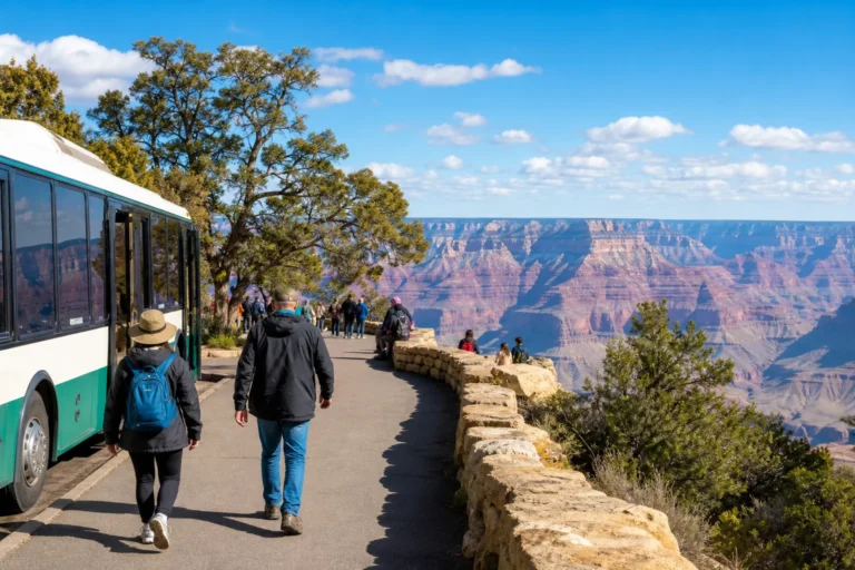
Base South Rim stays around Grand Canyon Village, the hub for lodging, services, and the Visitor Center. Use the free South Rim shuttle routes (Kaibab/Rim orange route and others) to reach key overlooks and avoid limited parking.
Obtain backcountry or Bright Angel Campground permits from the Backcountry Information Center. River trips launching at Lees Ferry require separate river permits or booking with authorized outfitters.
Check official park maps, shuttle schedules, and current alerts before travel.
Local Tips for Grand Canyon National Park
Rely on the free South Rim shuttle to avoid parking constraints at busy overlooks like Hermit Road and Grand Canyon Village. Walk short rim segments—such as Mather Point to Yavapai—for excellent views with minimal effort; Yavapai Geology Museum is a convenient orientation stop.
Many visitors descend one corridor trail and ascend another (for example, down South Kaibab and up Bright Angel). Pick up the park’s South Rim pocket map and trail brochures at the Visitor Center, and book river and guided-hike services well in advance.
Live conditions
Current Weather

Updated 2026-09-20 12:45
- Feels like
- 64°F / 18°C
- Today’s high / low
- 74°F / 23°C · 56°F / 13°C
- Humidity
- 17%
- Wind
- ↙ 7 mph
- Precipitation
- 0 in
- Chance of rain
- 2%
- Local time
- 2026-09-20 12:59
Safety
Rim trails drop quickly into steep, exposed ground; heat, dehydration, and steep climbs are the primary hazards. Inner‑canyon temperatures can far exceed rim conditions—carry ample water, start early, and turn back before exhaustion.
Do not attempt rim‑to‑river‑to‑rim day hikes unless experienced and fit; overnight inner‑canyon trips require backcountry permits. Expect mule traffic on major trails and follow ranger directions.
For river travel, obey permit rules and operator guidance; whitewater and swift currents are hazardous. Check official park alerts before travel.